01
Topographic Mapping
High-accuracy 3D terrain models, contour maps, and volumetric calculations with centimeter-level precision.
- Digital Elevation Models (DEM)
- Contour generation
- Cut / fill analysis
FAA Part 107 Certified • Licensed & Insured
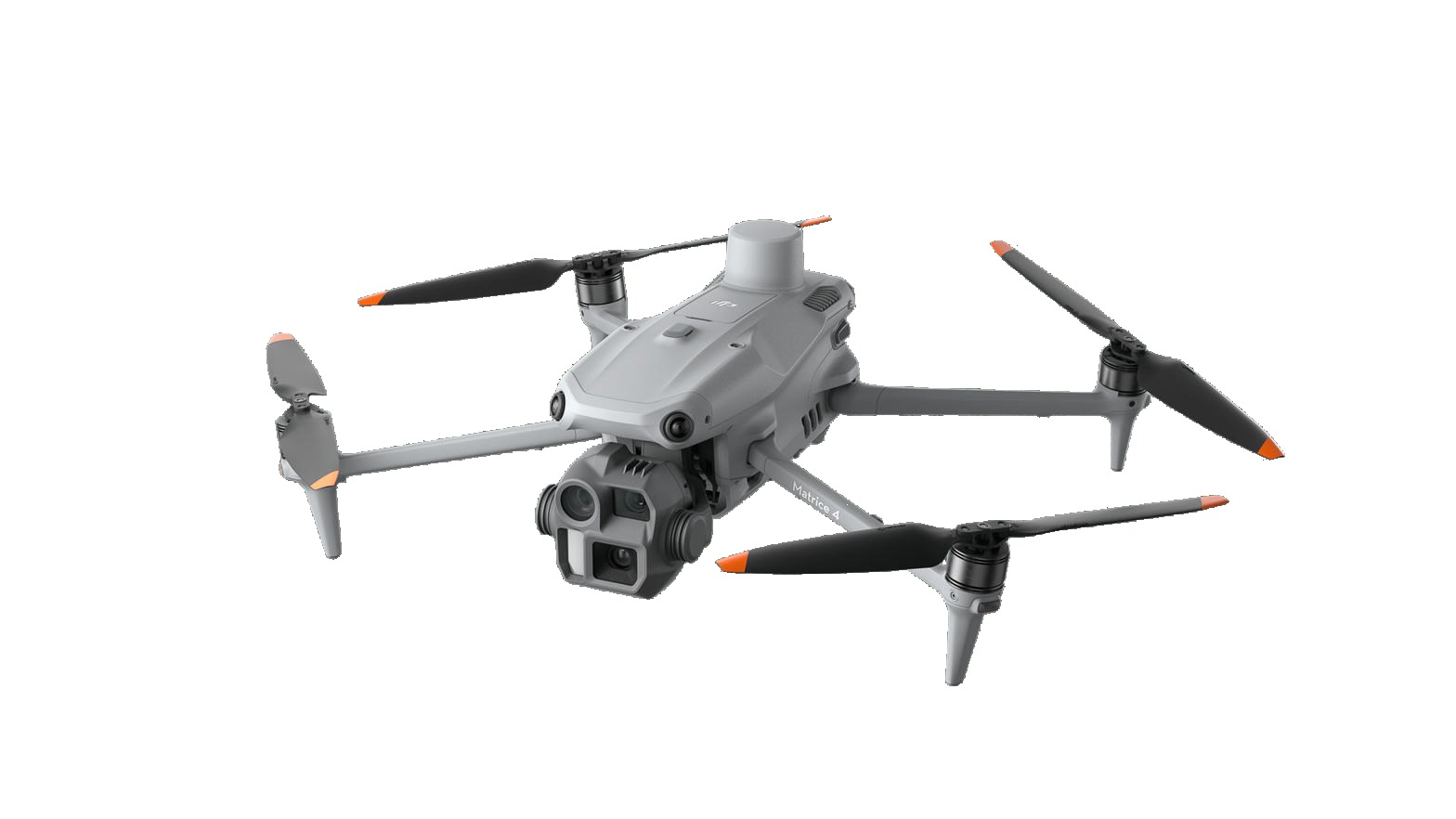
Flown on the DJI Matrice 4E. Professional UAV surveying and mapping for tower inspections, construction, engineering, and land development. Accurate data. Fast turnaround. Built for the field.
What we offer
01
High-accuracy 3D terrain models, contour maps, and volumetric calculations with centimeter-level precision.
02
Progress tracking, as-built documentation, and site safety using high-resolution aerial imagery and video.
03
Safe inspection of towers, bridges, rooftops, and pipelines without scaffolding or unnecessary downtime.
Platform
Mapping
Survey and mapping aircraft with a 4/3-inch mechanical shutter, dual 48MP tele cameras, laser rangefinder, and built-in RTK.
Thermal
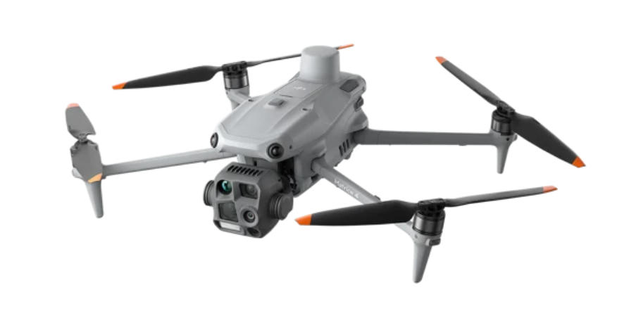
Thermal inspection aircraft for rooftops, electrical assets, towers, and night operations. Radiometric thermal plus NIR auxiliary light.
Why Forge Aerial
Compared with traditional ground surveys and manned aircraft on many sites.
RTK-enabled workflows deliver reliable, georeferenced data you can design from.
Same-day mobilization across the Southeast when the job can’t wait.
Recent projects
3D topo and volume calculations delivered in 4 days.
Progress monitoring and orthophoto deliverables.